Photogrammetry
Drone topographic surveying using photogrammetry, capturing precise aerial images to generate high-quality 3D models and maps that optimize engineering, mining, and construction projects.
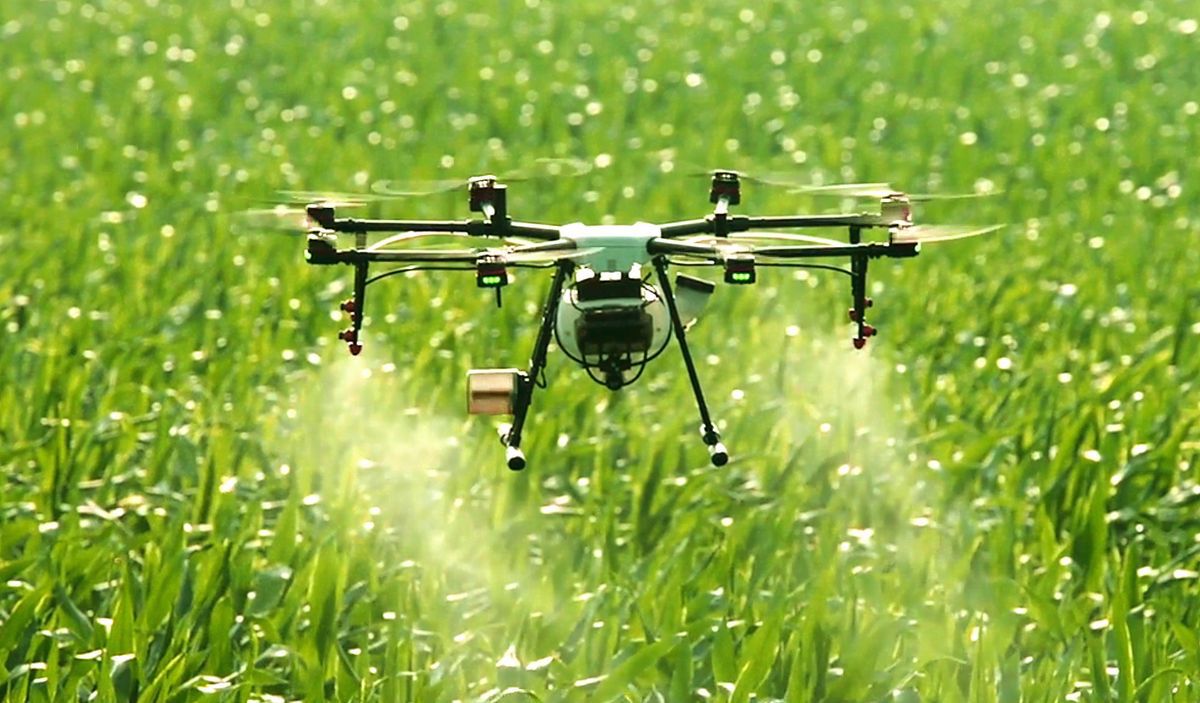
More Professional Services with Drones
In addition to our mapping, photogrammetry, and inspection solutions, we offer agricultural monitoring, filming, aerial photography, and emergency services. Complete your projects with advanced technology and quality results.

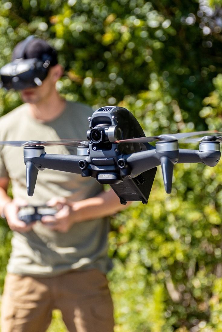
Aerial Filming and Photography
We capture high-quality aerial images and videos for a variety of projects. Our drones offer unique and professional perspectives, ideal for events, advertising, tourism, and construction documentation. Take advantage of cutting-edge technology to bring your visual ideas to life.
Emergency Support
We provide rapid and effective assistance in emergency situations. Our drones are equipped to perform aerial inspections, search and rescue, and damage assessment, providing critical real-time information for an efficient and coordinated response.
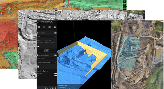
Topographic Profiless
We generate precise topographic profiles using drones, providing a detailed analysis of the terrain. This information is essential for engineering, mining, and construction projects, facilitating planning and resource optimization.
Drone Services for the Future
Precise Mapping, Reliable Results
Transform your projects with detailed 3D models and maps.
Aerial Visualization with Professional Drones
Receive exclusive articles on how drones can transform your business.
Subscribe now and get the latest trends and innovations straight to your inbox!